Path under road to Llanhilleth Colliery Memorial
Introduction
The photograph on this page of Path under road to Llanhilleth Colliery Memorial by M J Roscoe as part of the Geograph project.
The Geograph project started in 2005 with the aim of publishing, organising and preserving representative images for every square kilometre of Great Britain, Ireland and the Isle of Man.

There are currently over 7.5m images from over 14,400 individuals and you can help contribute to the project by visiting https://www.geograph.org.uk
Path under road to Llanhilleth Colliery Memorial
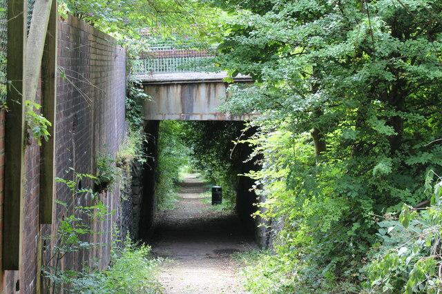
Image: © M J Roscoe Taken: 26 Jul 2022
The path goes down from the derelict pithead baths under the High Street, B4471, at Horseshoe Bend into Granny's Wood and to the memorial Image
Images are licensed for reuse under creativecommons.org/licenses/by-sa/2.0
Image Location
Latitude
51.697649
Longitude
-3.127525