The Hardenhuish Brook
Introduction
The photograph on this page of The Hardenhuish Brook by Stephen Craven as part of the Geograph project.
The Geograph project started in 2005 with the aim of publishing, organising and preserving representative images for every square kilometre of Great Britain, Ireland and the Isle of Man.

There are currently over 7.5m images from over 14,400 individuals and you can help contribute to the project by visiting https://www.geograph.org.uk
The Hardenhuish Brook
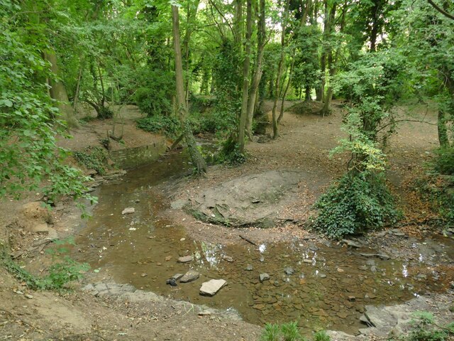
Image: © Stephen Craven Taken: 13 Jul 2022
Probably never much of a watercourse at the best of times, but with only a trickle of a flow in the dry summer of 2022.
Images are licensed for reuse under creativecommons.org/licenses/by-sa/2.0
Image Location
Latitude
51.465794
Longitude
-2.132965