Graham Street
Introduction
The photograph on this page of Graham Street by Ian Capper as part of the Geograph project.
The Geograph project started in 2005 with the aim of publishing, organising and preserving representative images for every square kilometre of Great Britain, Ireland and the Isle of Man.

There are currently over 7.5m images from over 14,400 individuals and you can help contribute to the project by visiting https://www.geograph.org.uk
Graham Street
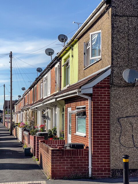
Image: © Ian Capper Taken: 14 Jul 2022
Early 20th Century terraced housing in Graham Street seen here from where it crosses Bathurst Road.
Images are licensed for reuse under creativecommons.org/licenses/by-sa/2.0
Image Location
Latitude
51.563762
Longitude
-1.775493