Route of Wilts and Berks Canal
Introduction
The photograph on this page of Route of Wilts and Berks Canal by Ian Capper as part of the Geograph project.
The Geograph project started in 2005 with the aim of publishing, organising and preserving representative images for every square kilometre of Great Britain, Ireland and the Isle of Man.

There are currently over 7.5m images from over 14,400 individuals and you can help contribute to the project by visiting https://www.geograph.org.uk
Route of Wilts and Berks Canal
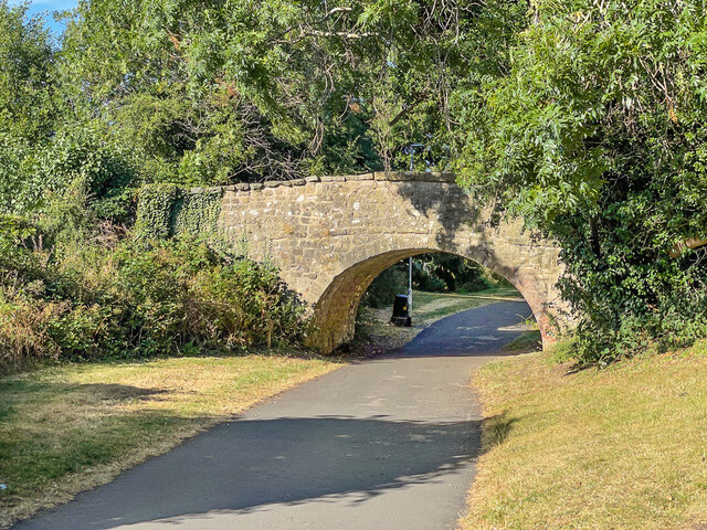
Image: © Ian Capper Taken: 14 Jul 2022
Route of the former Wilts and Berks Canal, now a footpath linking Queen's Drive and Ocotal Way. The bridge is a former footpath bridge over the canal, dating from c.1810 and is grade II listed - see https://historicengland.org.uk/listing/the-list/list-entry/1355880?section=official-list-entry.
Images are licensed for reuse under creativecommons.org/licenses/by-sa/2.0
Image Location
Latitude
51.564007
Longitude
-1.767543