Old Wayside Cross in Lanner churchyard
Introduction
The photograph on this page of Old Wayside Cross in Lanner churchyard by L Nott as part of the Geograph project.
The Geograph project started in 2005 with the aim of publishing, organising and preserving representative images for every square kilometre of Great Britain, Ireland and the Isle of Man.

There are currently over 7.5m images from over 14,400 individuals and you can help contribute to the project by visiting https://www.geograph.org.uk
Old Wayside Cross in Lanner churchyard
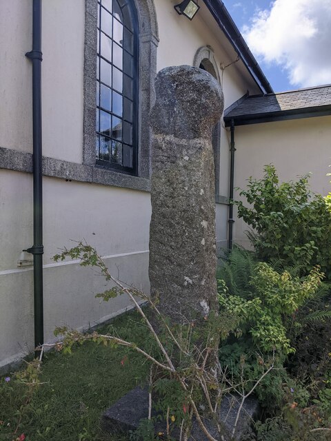
Image: © L Nott Taken: 26 Jul 2022
Lannarth no 2 cross, the old head and shaft of a wayside cross moved from Tredeage Farm to the northeast side of Lanner churchyard. Lanner parish. Milestone Society National ID: CWKE_GWE05
Images are licensed for reuse under creativecommons.org/licenses/by-sa/2.0
Image Location
Latitude
50.21465
Longitude
-5.202789