Direction Sign ? Signpost on the B3351 in Studland
Introduction
The photograph on this page of Direction Sign ? Signpost on the B3351 in Studland by D Dougherty as part of the Geograph project.
The Geograph project started in 2005 with the aim of publishing, organising and preserving representative images for every square kilometre of Great Britain, Ireland and the Isle of Man.

There are currently over 7.5m images from over 14,400 individuals and you can help contribute to the project by visiting https://www.geograph.org.uk
Direction Sign ? Signpost on the B3351 in Studland
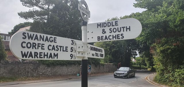
Image: © D Dougherty Taken: 24 Jul 2022
Located on a grass triangle in the centre of the junction of the B3351 Ferry Road / Swanage Road and Beach Road, in Studland parish. 3 arms and annulus & bar finial. Erected after July 2019. Milestone Society National ID: DO_SZ0382B
Images are licensed for reuse under creativecommons.org/licenses/by-sa/2.0
Image Location
Latitude
50.642773
Longitude
-1.952952