Path up to Darland Banks
Introduction
The photograph on this page of Path up to Darland Banks by Marathon as part of the Geograph project.
The Geograph project started in 2005 with the aim of publishing, organising and preserving representative images for every square kilometre of Great Britain, Ireland and the Isle of Man.

There are currently over 7.5m images from over 14,400 individuals and you can help contribute to the project by visiting https://www.geograph.org.uk
Path up to Darland Banks
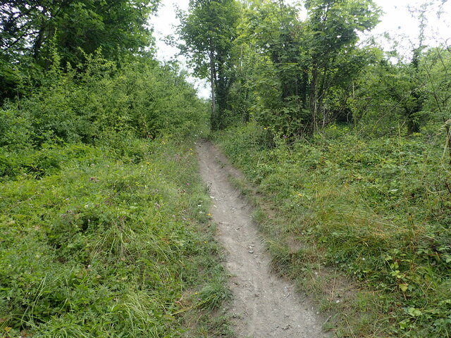
Image: © Marathon Taken: 27 Jul 2022
This steep path leads up from Beacon Road to Ash Three Lane. Darland Banks on the southern edge of Gillingham is a fine chalk grassland, interspersed with scrub and secondary woodland. The population of man orchids is one of the largest in the United Kingdom. The area has been accessible for more than a hundred years and the grassland slopes were historically used as common land for the grazing of cattle and sheep.
Images are licensed for reuse under creativecommons.org/licenses/by-sa/2.0
Image Location


Leaflet Map data © OpenStreetMap
Latitude
51.369652
Longitude
0.552071