Hartshead Pike Well
Introduction
The photograph on this page of Hartshead Pike Well by Kevin Waterhouse as part of the Geograph project.
The Geograph project started in 2005 with the aim of publishing, organising and preserving representative images for every square kilometre of Great Britain, Ireland and the Isle of Man.

There are currently over 7.5m images from over 14,400 individuals and you can help contribute to the project by visiting https://www.geograph.org.uk
Hartshead Pike Well
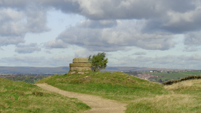
Image: © Kevin Waterhouse Taken: 6 Oct 2017
Often marked as a well on maps is this the site of the original tower on the summit of the hill?
Images are licensed for reuse under creativecommons.org/licenses/by-sa/2.0
Image Location
Latitude
53.518797
Longitude
-2.061194