Roderick Avenue, Peacehaven
Introduction
The photograph on this page of Roderick Avenue, Peacehaven by Malc McDonald as part of the Geograph project.
The Geograph project started in 2005 with the aim of publishing, organising and preserving representative images for every square kilometre of Great Britain, Ireland and the Isle of Man.

There are currently over 7.5m images from over 14,400 individuals and you can help contribute to the project by visiting https://www.geograph.org.uk
Roderick Avenue, Peacehaven
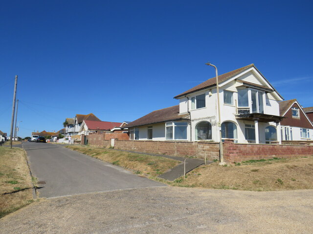
Image: © Malc McDonald Taken: 24 Jul 2022
Roderick Avenue is a minor residential road leading to and from the clifftop at Peacehaven on the Sussex coast.
Images are licensed for reuse under creativecommons.org/licenses/by-sa/2.0
Image Location
Latitude
50.790215
Longitude
-0.00363