Alleys-oop Petersfield: The Secret Path
Introduction
The photograph on this page of Alleys-oop Petersfield: The Secret Path by Martyn Pattison as part of the Geograph project.
The Geograph project started in 2005 with the aim of publishing, organising and preserving representative images for every square kilometre of Great Britain, Ireland and the Isle of Man.

There are currently over 7.5m images from over 14,400 individuals and you can help contribute to the project by visiting https://www.geograph.org.uk
Alleys-oop Petersfield: The Secret Path
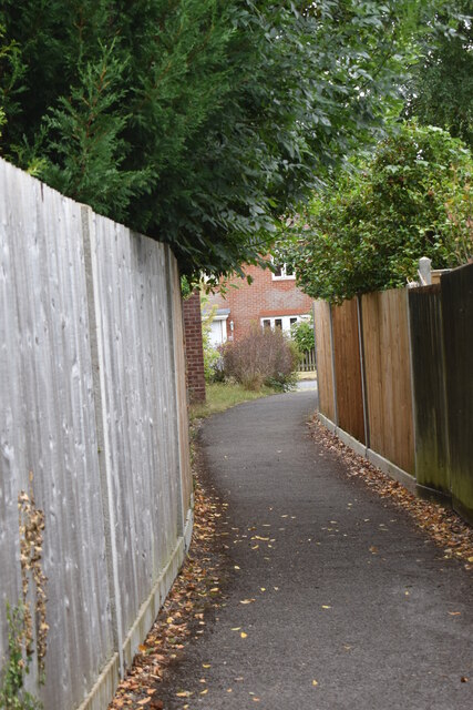
Image: © Martyn Pattison Taken: 27 Jul 2022
Photos of alleyways and cut-throughs for pedestrians only around Petersfield. This path provides access from Upper and Lower Heyshott onto Moggs Mead. When we moved here our kids were toddlers and to them this was "the secret path", and it's what we still call it even though they're adults now.
Images are licensed for reuse under creativecommons.org/licenses/by-sa/2.0
Image Location


Leaflet Map data © OpenStreetMap
Latitude
51.005001
Longitude
-0.930586