Southbank Marina, Kirkintilloch
Introduction
The photograph on this page of Southbank Marina, Kirkintilloch by Richard Sutcliffe as part of the Geograph project.
The Geograph project started in 2005 with the aim of publishing, organising and preserving representative images for every square kilometre of Great Britain, Ireland and the Isle of Man.

There are currently over 7.5m images from over 14,400 individuals and you can help contribute to the project by visiting https://www.geograph.org.uk
Southbank Marina, Kirkintilloch
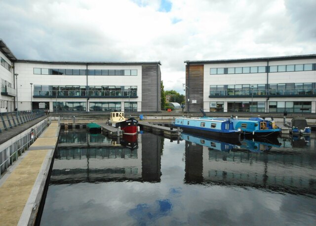
Image: © Richard Sutcliffe Taken: 26 Jul 2022
The marina was part of a £12 million project to transform Southbank into a new business and leisure park. It has been built where originally there were two basins, which were at the terminus of the Monkland and Kirkintilloch Railway, which transported coal to the canal from Lanarkshire. It was also later the location of one of two boat-yards in Kirkintilloch - see Canmore https://canmore.org.uk/site/168466/forth-and-clyde-canal-kirkintilloch-dockyard.
Images are licensed for reuse under creativecommons.org/licenses/by-sa/2.0
Image Location
Latitude
55.934973
Longitude
-4.159291