Stone Stile, Randwick
Introduction
The photograph on this page of Stone Stile, Randwick by Mr Red as part of the Geograph project.
The Geograph project started in 2005 with the aim of publishing, organising and preserving representative images for every square kilometre of Great Britain, Ireland and the Isle of Man.

There are currently over 7.5m images from over 14,400 individuals and you can help contribute to the project by visiting https://www.geograph.org.uk
Stone Stile, Randwick
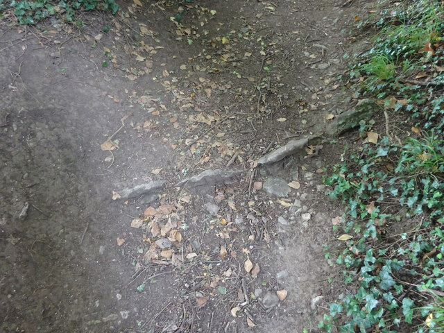
Image: © Mr Red Taken: 15 Jul 2022
Where Gloucestershire bridleway MRA32 ends at Ruscombe Road. These features often divert rain to one side, but the path is so dished, this could not be the purpose. It had to have been a stile. The bridleway also marks the boundary of Whiteshill and Randwick parishes.
Images are licensed for reuse under creativecommons.org/licenses/by-sa/2.0
Image Location
Latitude
51.755281
Longitude
-2.243628