The Steadings, Greenside
Introduction
The photograph on this page of The Steadings, Greenside by Robert Graham as part of the Geograph project.
The Geograph project started in 2005 with the aim of publishing, organising and preserving representative images for every square kilometre of Great Britain, Ireland and the Isle of Man.

There are currently over 7.5m images from over 14,400 individuals and you can help contribute to the project by visiting https://www.geograph.org.uk
The Steadings, Greenside
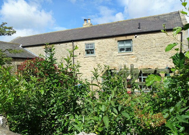
Image: © Robert Graham Taken: 4 Jul 2022
This stands on Lead Road, the village main street. Although obviously this has been converted to residential, it seems to be a genuine early 19th farm building. It dates to the time when this was a mainly agricultural village.
Images are licensed for reuse under creativecommons.org/licenses/by-sa/2.0
Image Location
Latitude
54.95425
Longitude
-1.782616