Sheviock
Introduction
The photograph on this page of Sheviock by Tony Atkin as part of the Geograph project.
The Geograph project started in 2005 with the aim of publishing, organising and preserving representative images for every square kilometre of Great Britain, Ireland and the Isle of Man.

There are currently over 7.5m images from over 14,400 individuals and you can help contribute to the project by visiting https://www.geograph.org.uk
Sheviock
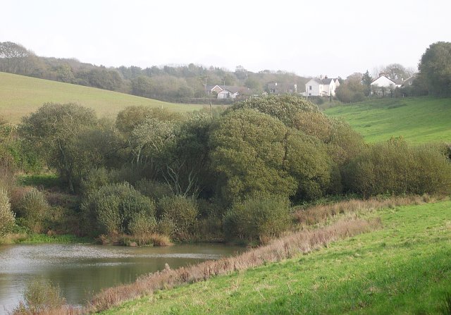
Image: © Tony Atkin Taken: 30 Oct 2005
Looking east towards the village of Sheviock from Horsepool Road. The freshwater lake in the foreground has been artificially created.
Images are licensed for reuse under creativecommons.org/licenses/by-sa/2.0
Image Location


Leaflet Map data © OpenStreetMap
Latitude
50.373103
Longitude
-4.296406