A walk from Birling Gap to Eastbourne [46]
Introduction
The photograph on this page of A walk from Birling Gap to Eastbourne [46] by Michael Dibb as part of the Geograph project.
The Geograph project started in 2005 with the aim of publishing, organising and preserving representative images for every square kilometre of Great Britain, Ireland and the Isle of Man.

There are currently over 7.5m images from over 14,400 individuals and you can help contribute to the project by visiting https://www.geograph.org.uk
A walk from Birling Gap to Eastbourne [46]
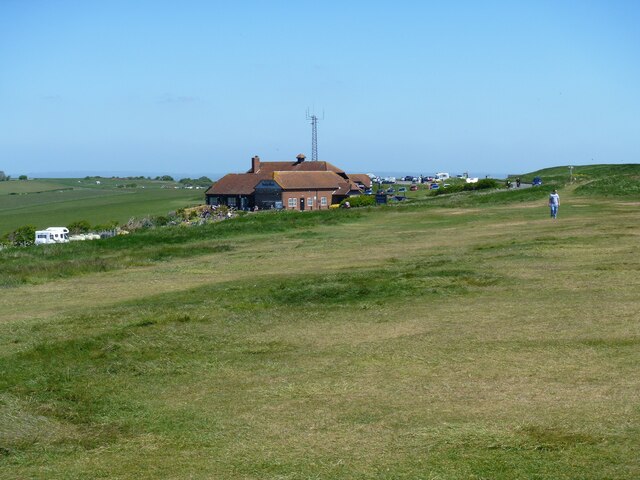
Image: © Michael Dibb Taken: 8 May 2022
The buildings at Beachy Head include a countryside centre, a public house and a chapel. From Birling Gap the route follows the long distance South Downs Way via Belle Tout and Beachy Head to Eastbourne. Walking along the cliff tops for most of the route, there are many expansive, spectacular views. About 4 miles.
Images are licensed for reuse under creativecommons.org/licenses/by-sa/2.0
Image Location
Latitude
50.740238
Longitude
0.251497