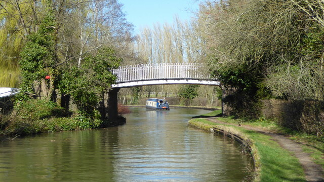
Grand Union Canal bridge 86
Introduction
The photograph on this page of Grand Union Canal bridge 86 by Mark Percy as part of the Geograph project.
The Geograph project started in 2005 with the aim of publishing, organising and preserving representative images for every square kilometre of Great Britain, Ireland and the Isle of Man.
There are currently over 7.5m images from over 14,400 individuals and you can help contribute to the project by visiting https://www.geograph.org.uk

Image: © Mark Percy Taken: 19 Mar 2022
The design differs from most of the canal bridges in Milton Keynes, with the abutments constructed of sandstone blocks. Ordnance Survey maps tell us that there was a farmer's accommodation bridge here from the start of the canal in about 1800, but this structure was not it. The bridge and the tracks leading up to it used to define the boundary between the old civil parishes of Great Woolstone and Woughton on the Green.

