Crossroads in Greenside village centre
Introduction
The photograph on this page of Crossroads in Greenside village centre by Robert Graham as part of the Geograph project.
The Geograph project started in 2005 with the aim of publishing, organising and preserving representative images for every square kilometre of Great Britain, Ireland and the Isle of Man.

There are currently over 7.5m images from over 14,400 individuals and you can help contribute to the project by visiting https://www.geograph.org.uk
Crossroads in Greenside village centre
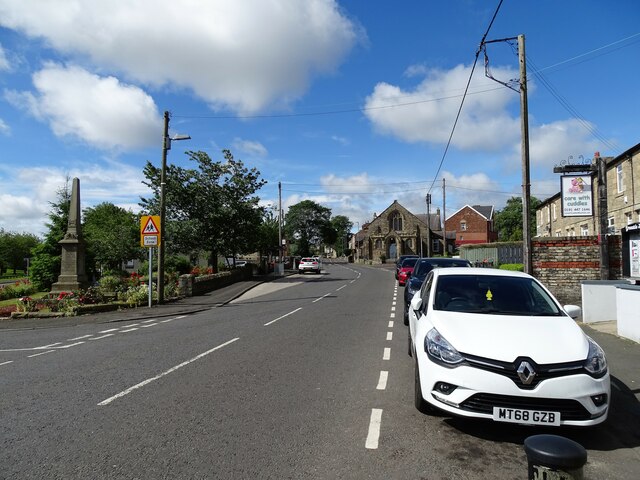
Image: © Robert Graham Taken: 4 Jul 2022
View along Lead Road to the junction with Rockwood Hill Road, which is right of the Methodist Church in the centre of the picture. Spen Lane goes off to the left, on the edge of the picture, beside the War Memorial.
Images are licensed for reuse under creativecommons.org/licenses/by-sa/2.0
Image Location
Latitude
54.953086
Longitude
-1.785121