Boughton End Lane passing Boughton End Farm
Introduction
The photograph on this page of Boughton End Lane passing Boughton End Farm by Richard Vince as part of the Geograph project.
The Geograph project started in 2005 with the aim of publishing, organising and preserving representative images for every square kilometre of Great Britain, Ireland and the Isle of Man.

There are currently over 7.5m images from over 14,400 individuals and you can help contribute to the project by visiting https://www.geograph.org.uk
Boughton End Lane passing Boughton End Farm
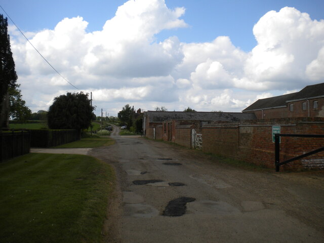
Image: © Richard Vince Taken: 7 May 2022
Showing evidence of recent carriageway patching. This section of the road is part of the Greensand Ridge Walk, between two public footpaths that are about 100 yards apart.
Images are licensed for reuse under creativecommons.org/licenses/by-sa/2.0
Image Location
Latitude
52.03039
Longitude
-0.563747