Windmill Lane
Introduction
The photograph on this page of Windmill Lane by Derek Harper as part of the Geograph project.
The Geograph project started in 2005 with the aim of publishing, organising and preserving representative images for every square kilometre of Great Britain, Ireland and the Isle of Man.

There are currently over 7.5m images from over 14,400 individuals and you can help contribute to the project by visiting https://www.geograph.org.uk
Windmill Lane
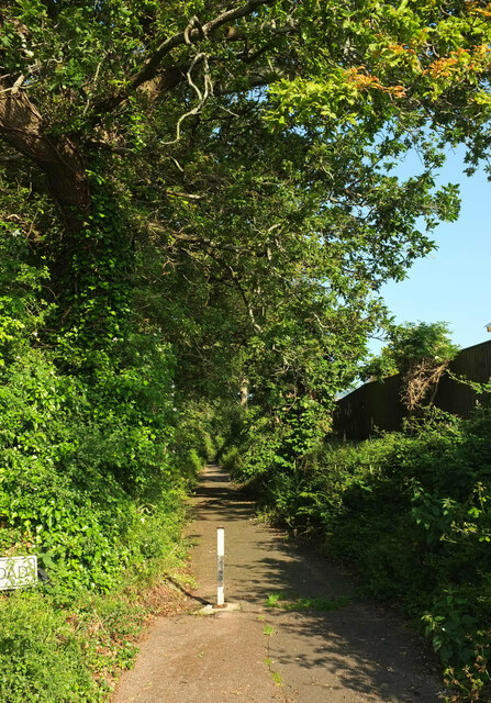
Image: © Derek Harper Taken: 2 Jul 2021
The old lane had two posts preventing vehicles from using it, although one seems to have gone. Seen from the junction shown in Image]; see also https://www.geograph.org.uk/search.php?i=161833552 .
Images are licensed for reuse under creativecommons.org/licenses/by-sa/2.0
Image Location
Latitude
50.450085
Longitude
-3.579046