Colliery spoil heap at Butterknowle
Introduction
The photograph on this page of Colliery spoil heap at Butterknowle by Trevor Littlewood as part of the Geograph project.
The Geograph project started in 2005 with the aim of publishing, organising and preserving representative images for every square kilometre of Great Britain, Ireland and the Isle of Man.

There are currently over 7.5m images from over 14,400 individuals and you can help contribute to the project by visiting https://www.geograph.org.uk
Colliery spoil heap at Butterknowle
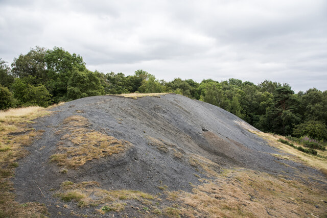
Image: © Trevor Littlewood Taken: 21 Jul 2022
Butterknowle is a County Durham 'pit village'. Little evidence now remains of the coal mining industry but the image shows a shaley spoil heap above the east side of Crow Howle Beck, north of the settlement. There's also a small, brick-built ruin at the camera location.
Images are licensed for reuse under creativecommons.org/licenses/by-sa/2.0
Image Location
Latitude
54.631358
Longitude
-1.834374