Level crossing, Lidlington
Introduction
The photograph on this page of Level crossing, Lidlington by Richard Vince as part of the Geograph project.
The Geograph project started in 2005 with the aim of publishing, organising and preserving representative images for every square kilometre of Great Britain, Ireland and the Isle of Man.

There are currently over 7.5m images from over 14,400 individuals and you can help contribute to the project by visiting https://www.geograph.org.uk
Level crossing, Lidlington
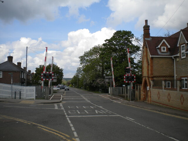
Image: © Richard Vince Taken: 7 May 2022
Looking from Church Street across the railway to Station Road. The platforms of the station, on the Bedford to Bletchley line, are staggered either side of the crossing so that trains stop after the crossing in both directions.
Images are licensed for reuse under creativecommons.org/licenses/by-sa/2.0
Image Location
Latitude
52.041484
Longitude
-0.559163