View across wheatfields to the southern Kiln Lane level crossing
Introduction
The photograph on this page of View across wheatfields to the southern Kiln Lane level crossing by Christopher Hilton as part of the Geograph project.
The Geograph project started in 2005 with the aim of publishing, organising and preserving representative images for every square kilometre of Great Britain, Ireland and the Isle of Man.

There are currently over 7.5m images from over 14,400 individuals and you can help contribute to the project by visiting https://www.geograph.org.uk
View across wheatfields to the southern Kiln Lane level crossing
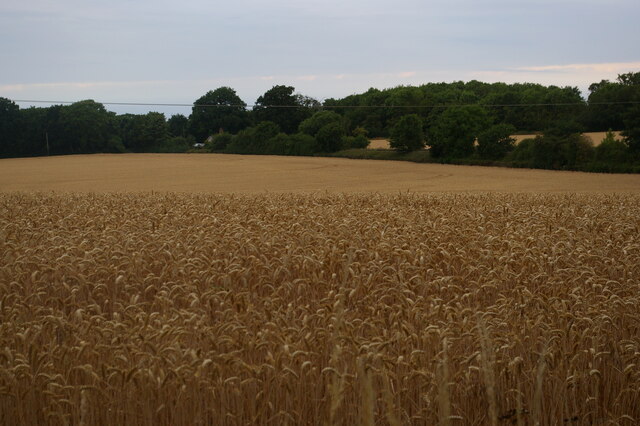
Image: © Christopher Hilton Taken: 21 Jul 2022
Kiln Lane loops away from the old main road and back down again, crossing the railway line twice as it does so. This view from the northern side of the loop looks across fields to the cottage where the southern side crosses the railway.
Images are licensed for reuse under creativecommons.org/licenses/by-sa/2.0
Image Location
Latitude
52.201684
Longitude
1.480638