Mill Lane, Copthorne
Introduction
The photograph on this page of Mill Lane, Copthorne by Robin Webster as part of the Geograph project.
The Geograph project started in 2005 with the aim of publishing, organising and preserving representative images for every square kilometre of Great Britain, Ireland and the Isle of Man.

There are currently over 7.5m images from over 14,400 individuals and you can help contribute to the project by visiting https://www.geograph.org.uk
Mill Lane, Copthorne
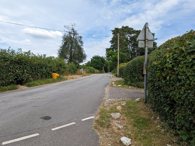
Image: © Robin Webster Taken: 13 Jul 2022
Towards the B2028 Turner's Hill Road. The West Sussex - Surrey boundary seems to run down the middle of the road, Surrey on the left.
Images are licensed for reuse under creativecommons.org/licenses/by-sa/2.0
Image Location
Latitude
51.138553
Longitude
-0.096712