Junction with track on St Breock Downs
Introduction
The photograph on this page of Junction with track on St Breock Downs by Hugh Craddock as part of the Geograph project.
The Geograph project started in 2005 with the aim of publishing, organising and preserving representative images for every square kilometre of Great Britain, Ireland and the Isle of Man.

There are currently over 7.5m images from over 14,400 individuals and you can help contribute to the project by visiting https://www.geograph.org.uk
Junction with track on St Breock Downs
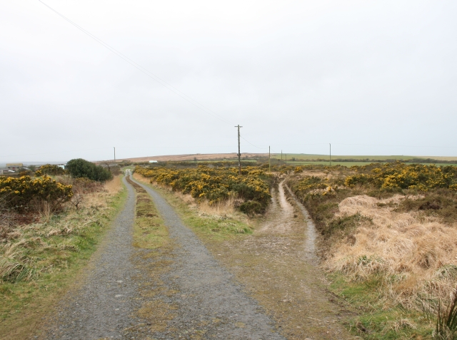
Image: © Hugh Craddock Taken: 8 Mar 2008
The road (straight on) leads to Higher Cransworth, and the track to the right provides access to Rosenannon Downs. This area of heathland was removed from the register of common land in 1981, but was once part of a much larger area of rough grazing right across this ridge of high land.
Images are licensed for reuse under creativecommons.org/licenses/by-sa/2.0
Image Location
Latitude
50.477813
Longitude
-4.870812