Lumber Lane junction with St.Peters Close
Introduction
The photograph on this page of Lumber Lane junction with St.Peters Close by Pauline E as part of the Geograph project.
The Geograph project started in 2005 with the aim of publishing, organising and preserving representative images for every square kilometre of Great Britain, Ireland and the Isle of Man.

There are currently over 7.5m images from over 14,400 individuals and you can help contribute to the project by visiting https://www.geograph.org.uk
Lumber Lane junction with St.Peters Close
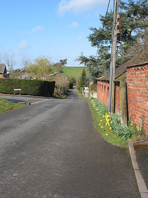
Image: © Pauline E Taken: 11 Mar 2008
The lane heads north to join the A4103 passing Lugwardine Chapel on its way and crossing a Roman Road. Modern houses line St. Peters Close.
Images are licensed for reuse under creativecommons.org/licenses/by-sa/2.0
Image Location


Leaflet Map data © OpenStreetMap
Latitude
52.066714
Longitude
-2.655971