Crop Field Patchwork
Introduction
The photograph on this page of Crop Field Patchwork by Jonathan Clitheroe as part of the Geograph project.
The Geograph project started in 2005 with the aim of publishing, organising and preserving representative images for every square kilometre of Great Britain, Ireland and the Isle of Man.

There are currently over 7.5m images from over 14,400 individuals and you can help contribute to the project by visiting https://www.geograph.org.uk
Crop Field Patchwork
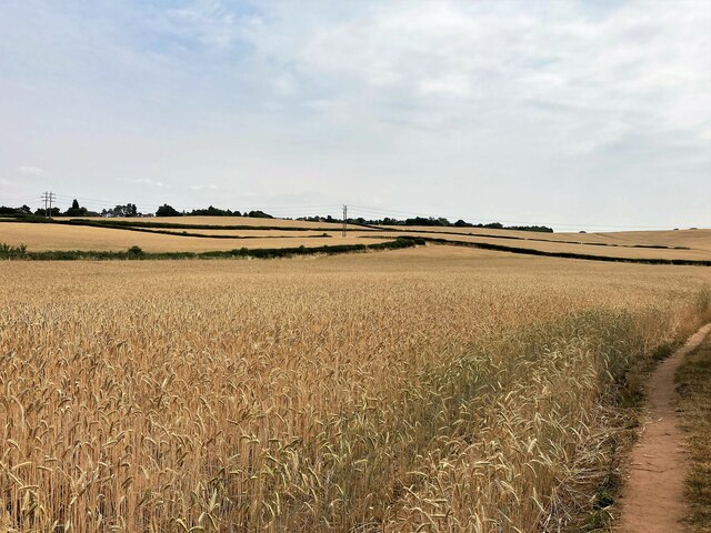
Image: © Jonathan Clitheroe Taken: 20 Jul 2022
Wheat Fields located to the south east of Sutton-in-Ashfield
Images are licensed for reuse under creativecommons.org/licenses/by-sa/2.0
Image Location
Latitude
53.114716
Longitude
-1.230841