Crop Fields near Sutton-In-Ashfield
Introduction
The photograph on this page of Crop Fields near Sutton-In-Ashfield by Jonathan Clitheroe as part of the Geograph project.
The Geograph project started in 2005 with the aim of publishing, organising and preserving representative images for every square kilometre of Great Britain, Ireland and the Isle of Man.

There are currently over 7.5m images from over 14,400 individuals and you can help contribute to the project by visiting https://www.geograph.org.uk
Crop Fields near Sutton-In-Ashfield
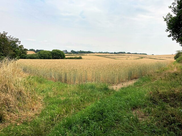
Image: © Jonathan Clitheroe Taken: 20 Jul 2022
Path and farmland to the south east of the town. The footpath skirts this wheat field's right periphery.
Images are licensed for reuse under creativecommons.org/licenses/by-sa/2.0
Image Location
Latitude
53.115889
Longitude
-1.231567