Traffic management on the former Wilts & Berks canal
Introduction
The photograph on this page of Traffic management on the former Wilts & Berks canal by Christine Johnstone as part of the Geograph project.
The Geograph project started in 2005 with the aim of publishing, organising and preserving representative images for every square kilometre of Great Britain, Ireland and the Isle of Man.

There are currently over 7.5m images from over 14,400 individuals and you can help contribute to the project by visiting https://www.geograph.org.uk
Traffic management on the former Wilts & Berks canal
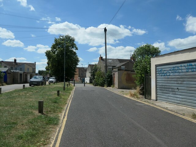
Image: © Christine Johnstone Taken: 14 Jul 2022
Double yellow lines and bollards, because this is road access to the back of houses, as well as a public footpath. The Wilts & Berks canal opened in 1810, linking the Kennet & Avon canal with the River Thames and running right through Swindon. It closed in 1914, but is now partly restored.
Images are licensed for reuse under creativecommons.org/licenses/by-sa/2.0
Image Location
Latitude
51.557493
Longitude
-1.794117