Bouthwaite, Covill House Moor track
Introduction
The photograph on this page of Bouthwaite, Covill House Moor track by Mel Towler as part of the Geograph project.
The Geograph project started in 2005 with the aim of publishing, organising and preserving representative images for every square kilometre of Great Britain, Ireland and the Isle of Man.

There are currently over 7.5m images from over 14,400 individuals and you can help contribute to the project by visiting https://www.geograph.org.uk
Bouthwaite, Covill House Moor track
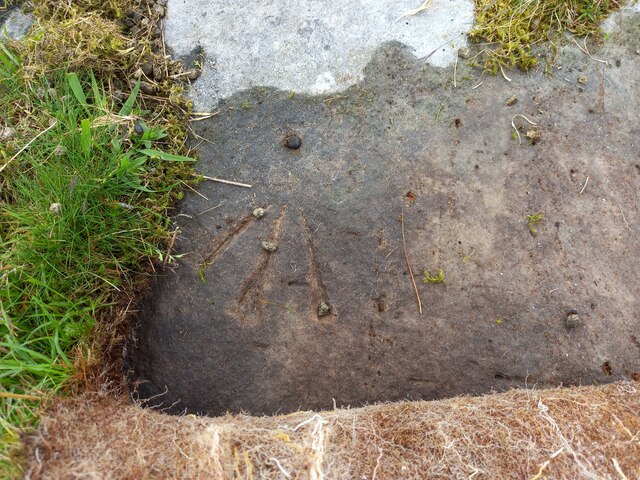
Image: © Mel Towler Taken: 3 Jun 2022
The rivet benchmark is cut into a boulder to the south east of the track.
Images are licensed for reuse under creativecommons.org/licenses/by-sa/2.0
Image Location
Latitude
54.139624
Longitude
-1.80144