Modern housing, Bwlchtocyn
Introduction
The photograph on this page of Modern housing, Bwlchtocyn by Jonathan Wilkins as part of the Geograph project.
The Geograph project started in 2005 with the aim of publishing, organising and preserving representative images for every square kilometre of Great Britain, Ireland and the Isle of Man.

There are currently over 7.5m images from over 14,400 individuals and you can help contribute to the project by visiting https://www.geograph.org.uk
Modern housing, Bwlchtocyn
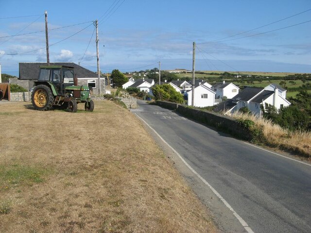
Image: © Jonathan Wilkins Taken: 20 Jul 2022
The growth of the semi-rural population of the district is extraordinary when compared with succeeding editions of the old OS maps which show almost no change in the district from Victorian times until after the Second World War.
Images are licensed for reuse under creativecommons.org/licenses/by-sa/2.0
Image Location
Latitude
52.805293
Longitude
-4.50752