Path approaching Hallen Close, Henbury
Introduction
The photograph on this page of Path approaching Hallen Close, Henbury by Derek Harper as part of the Geograph project.
The Geograph project started in 2005 with the aim of publishing, organising and preserving representative images for every square kilometre of Great Britain, Ireland and the Isle of Man.

There are currently over 7.5m images from over 14,400 individuals and you can help contribute to the project by visiting https://www.geograph.org.uk
Path approaching Hallen Close, Henbury
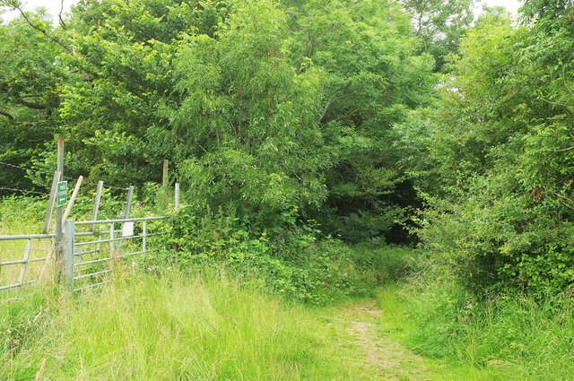
Image: © Derek Harper Taken: 27 Jun 2021
This is footpath BCC/21/30 entering the belt of trees along the west side of the cul-de-sac.
Images are licensed for reuse under creativecommons.org/licenses/by-sa/2.0
Image Location
Latitude
51.508289
Longitude
-2.636678