Flood wall at the rear of Riverside Park and Rowley Meadows
Introduction
The photograph on this page of Flood wall at the rear of Riverside Park and Rowley Meadows by Eric Jones as part of the Geograph project.
The Geograph project started in 2005 with the aim of publishing, organising and preserving representative images for every square kilometre of Great Britain, Ireland and the Isle of Man.

There are currently over 7.5m images from over 14,400 individuals and you can help contribute to the project by visiting https://www.geograph.org.uk
Flood wall at the rear of Riverside Park and Rowley Meadows
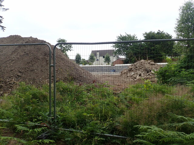
Image: © Eric Jones Taken: 10 Jul 2022
The image was taken eastwards from Tipperary Wood.
Images are licensed for reuse under creativecommons.org/licenses/by-sa/2.0
Image Location
Latitude
54.213607
Longitude
-5.901639