Open space between Hoewood Road and Camberley Road
Introduction
The photograph on this page of Open space between Hoewood Road and Camberley Road by Alan Murray-Rust as part of the Geograph project.
The Geograph project started in 2005 with the aim of publishing, organising and preserving representative images for every square kilometre of Great Britain, Ireland and the Isle of Man.

There are currently over 7.5m images from over 14,400 individuals and you can help contribute to the project by visiting https://www.geograph.org.uk
Open space between Hoewood Road and Camberley Road
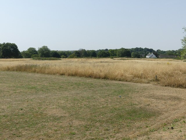
Image: © Alan Murray-Rust Taken: 19 Jul 2022
Mapped as 'Playing Field' it is now effectively scrub grassland with bramble thickets and a few informal pathways through it.
Images are licensed for reuse under creativecommons.org/licenses/by-sa/2.0
Image Location
Latitude
53.006946
Longitude
-1.205187