Underhill, Brockweir
Introduction
The photograph on this page of Underhill, Brockweir by Derek Harper as part of the Geograph project.
The Geograph project started in 2005 with the aim of publishing, organising and preserving representative images for every square kilometre of Great Britain, Ireland and the Isle of Man.

There are currently over 7.5m images from over 14,400 individuals and you can help contribute to the project by visiting https://www.geograph.org.uk
Underhill, Brockweir
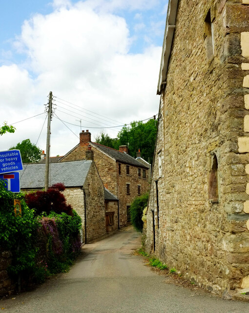
Image: © Derek Harper Taken: 25 Jun 2021
On the right is Phoenix House https://historicengland.org.uk/listing/the-list/list-entry/1186591?section=official-list-entry , shown in Image Underhill is a no through road, although it leads to a complex web of rights of way along the Wye valley. Seen from the Offa's Dyke Path as it passes along Mill Hill.
Images are licensed for reuse under creativecommons.org/licenses/by-sa/2.0
Image Location
Latitude
51.707366
Longitude
-2.667835