Hawkins Street
Introduction
The photograph on this page of Hawkins Street by Ian Capper as part of the Geograph project.
The Geograph project started in 2005 with the aim of publishing, organising and preserving representative images for every square kilometre of Great Britain, Ireland and the Isle of Man.

There are currently over 7.5m images from over 14,400 individuals and you can help contribute to the project by visiting https://www.geograph.org.uk
Hawkins Street
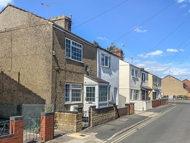
Image: © Ian Capper Taken: 14 Jul 2022
19th Century semi-detached houses in Hawkins Street. The road is marked as Henry Street on the 1889 6 inch map, with the 1901 edition showing the current name.
Images are licensed for reuse under creativecommons.org/licenses/by-sa/2.0
Image Location
Latitude
51.565711
Longitude
-1.799129