Entrance to Hurst Farm and end of footpath 35W
Introduction
The photograph on this page of Entrance to Hurst Farm and end of footpath 35W by Robin Webster as part of the Geograph project.
The Geograph project started in 2005 with the aim of publishing, organising and preserving representative images for every square kilometre of Great Britain, Ireland and the Isle of Man.

There are currently over 7.5m images from over 14,400 individuals and you can help contribute to the project by visiting https://www.geograph.org.uk
Entrance to Hurst Farm and end of footpath 35W
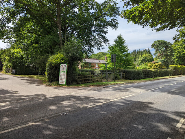
Image: © Robin Webster Taken: 13 Jul 2022
Comparing the wares on the board with that of 2010 (Image), coal has dropped off the list.
Images are licensed for reuse under creativecommons.org/licenses/by-sa/2.0
Image Location
Latitude
51.126479
Longitude
-0.089777