Flush Bracket, Moira
Introduction
The photograph on this page of Flush Bracket, Moira by Rossographer as part of the Geograph project.
The Geograph project started in 2005 with the aim of publishing, organising and preserving representative images for every square kilometre of Great Britain, Ireland and the Isle of Man.

There are currently over 7.5m images from over 14,400 individuals and you can help contribute to the project by visiting https://www.geograph.org.uk
Flush Bracket, Moira
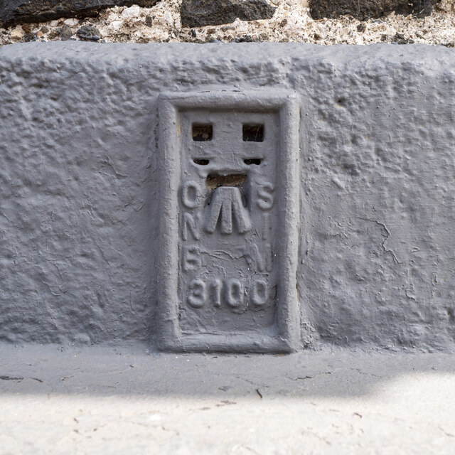
Image: © Rossographer Taken: 17 Jul 2022
Flush bracket bench mark on the south-western face of an old building on the corner of Meeting Street and Main Street, Moira. The number on the bracket is OSNIBM 3100. The mark has been levelled to 58.79 metres above MSL.
Images are licensed for reuse under creativecommons.org/licenses/by-sa/2.0
Image Location
Latitude
54.481094
Longitude
-6.225113