Galmpton Quay
Introduction
The photograph on this page of Galmpton Quay by Nigel Mykura as part of the Geograph project.
The Geograph project started in 2005 with the aim of publishing, organising and preserving representative images for every square kilometre of Great Britain, Ireland and the Isle of Man.

There are currently over 7.5m images from over 14,400 individuals and you can help contribute to the project by visiting https://www.geograph.org.uk
Galmpton Quay
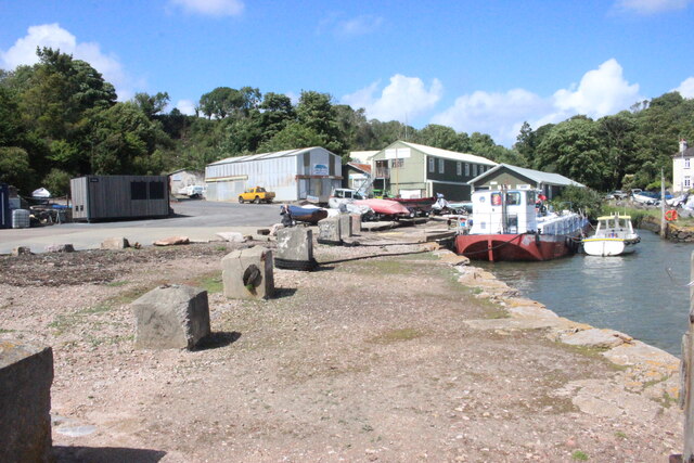
Image: © Nigel Mykura Taken: 11 Jun 2022
These old concrete locks on the quayside at Galmpton are used as mooring points but they look like they may have been WWII anti-tank defences.
Images are licensed for reuse under creativecommons.org/licenses/by-sa/2.0
Image Location


Leaflet Map data © OpenStreetMap
Latitude
50.393019
Longitude
-3.575742