Paganhill maypole, Stroud, from the south-east
Introduction
The photograph on this page of Paganhill maypole, Stroud, from the south-east by Christine Johnstone as part of the Geograph project.
The Geograph project started in 2005 with the aim of publishing, organising and preserving representative images for every square kilometre of Great Britain, Ireland and the Isle of Man.

There are currently over 7.5m images from over 14,400 individuals and you can help contribute to the project by visiting https://www.geograph.org.uk
Paganhill maypole, Stroud, from the south-east
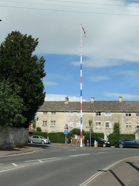
Image: © Christine Johnstone Taken: 15 Jul 2022
Currently being used as a flagpole. A plaque near the base reads 'This maypole was erected in May 2004 preserving a tradition in Paganhill dating back to the mid 17th century. It was made possible by the generosity of Mr Tim Lodge and celebrated Stroud's 700th birthday'.
Images are licensed for reuse under creativecommons.org/licenses/by-sa/2.0
Image Location


Leaflet Map data © OpenStreetMap
Latitude
51.749125
Longitude
-2.237801