South side, Central Road, Downfield, Stroud
Introduction
The photograph on this page of South side, Central Road, Downfield, Stroud by Christine Johnstone as part of the Geograph project.
The Geograph project started in 2005 with the aim of publishing, organising and preserving representative images for every square kilometre of Great Britain, Ireland and the Isle of Man.

There are currently over 7.5m images from over 14,400 individuals and you can help contribute to the project by visiting https://www.geograph.org.uk
South side, Central Road, Downfield, Stroud
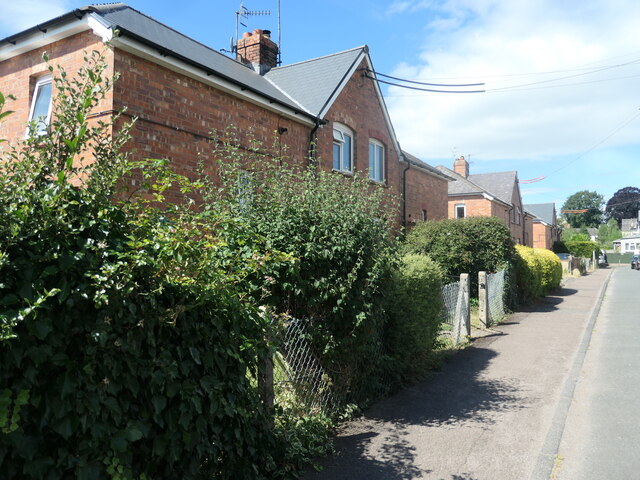
Image: © Christine Johnstone Taken: 15 Jul 2022
Social housing built between 1921 and 1935 on the site of some allotments.
Images are licensed for reuse under creativecommons.org/licenses/by-sa/2.0
Image Location
Latitude
51.747427
Longitude
-2.232722