Track to Roseannon Downs
Introduction
The photograph on this page of Track to Roseannon Downs by Hugh Craddock as part of the Geograph project.
The Geograph project started in 2005 with the aim of publishing, organising and preserving representative images for every square kilometre of Great Britain, Ireland and the Isle of Man.

There are currently over 7.5m images from over 14,400 individuals and you can help contribute to the project by visiting https://www.geograph.org.uk
Track to Roseannon Downs
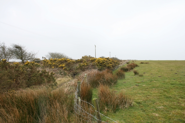
Image: © Hugh Craddock Taken: 8 Mar 2008
Taken at a junction of enclosed tracks on the downs, the tracks are evidently well used, but not recorded on the definitive map as public rights of way nor public roads.
Images are licensed for reuse under creativecommons.org/licenses/by-sa/2.0
Image Location


Leaflet Map data © OpenStreetMap
Latitude
50.477646
Longitude
-4.877568