Moorend Barn, Upton Snodsbury
Introduction
The photograph on this page of Moorend Barn, Upton Snodsbury by Jeff Gogarty as part of the Geograph project.
The Geograph project started in 2005 with the aim of publishing, organising and preserving representative images for every square kilometre of Great Britain, Ireland and the Isle of Man.

There are currently over 7.5m images from over 14,400 individuals and you can help contribute to the project by visiting https://www.geograph.org.uk
Moorend Barn, Upton Snodsbury
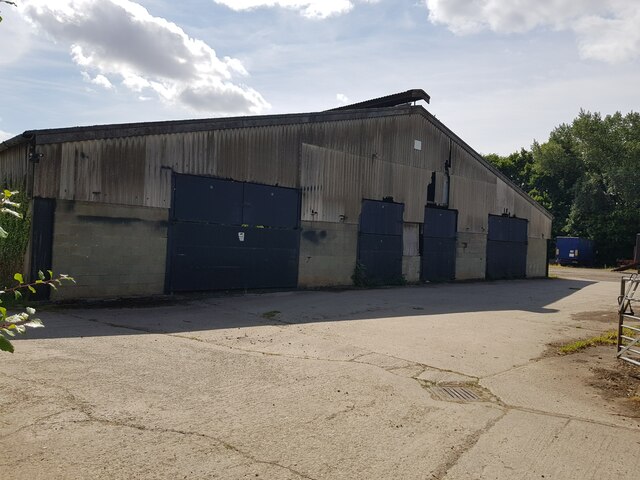
Image: © Jeff Gogarty Taken: 14 Jul 2022
This building looks like it could have been used for poultry farming.
Images are licensed for reuse under creativecommons.org/licenses/by-sa/2.0
Image Location
Latitude
52.186834
Longitude
-2.070604