Langtoft school
Introduction
The photograph on this page of Langtoft school by Mel Towler as part of the Geograph project.
The Geograph project started in 2005 with the aim of publishing, organising and preserving representative images for every square kilometre of Great Britain, Ireland and the Isle of Man.

There are currently over 7.5m images from over 14,400 individuals and you can help contribute to the project by visiting https://www.geograph.org.uk
Langtoft school
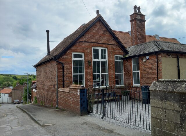
Image: © Mel Towler Taken: 30 May 2022
There is a benchmark cut into the north-east face of the brick-built village primary school. The brick wall is adjacent to the pavement.
Images are licensed for reuse under creativecommons.org/licenses/by-sa/2.0
Image Location
Latitude
54.088853
Longitude
-0.459207