Solid-looking house at Bartestree
Introduction
The photograph on this page of Solid-looking house at Bartestree by Pauline E as part of the Geograph project.
The Geograph project started in 2005 with the aim of publishing, organising and preserving representative images for every square kilometre of Great Britain, Ireland and the Isle of Man.

There are currently over 7.5m images from over 14,400 individuals and you can help contribute to the project by visiting https://www.geograph.org.uk
Solid-looking house at Bartestree
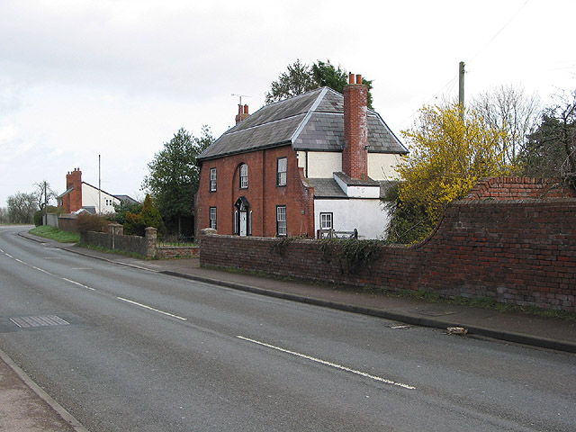
Image: © Pauline E Taken: 11 Mar 2008
The name was badly faded and impossible to read on this substantial, red brick dwelling by the A438 at Bartestree.
Images are licensed for reuse under creativecommons.org/licenses/by-sa/2.0
Image Location
Latitude
52.068075
Longitude
-2.637172