Central Hill estate ? Plane Tree Walk 2-24
Introduction
The photograph on this page of Central Hill estate ? Plane Tree Walk 2-24 by Robin Stott as part of the Geograph project.
The Geograph project started in 2005 with the aim of publishing, organising and preserving representative images for every square kilometre of Great Britain, Ireland and the Isle of Man.

There are currently over 7.5m images from over 14,400 individuals and you can help contribute to the project by visiting https://www.geograph.org.uk
Central Hill estate ? Plane Tree Walk 2-24
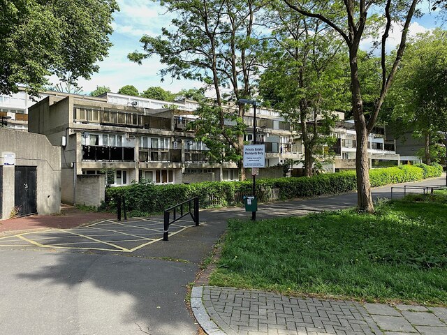
Image: © Robin Stott Taken: 19 May 2022
Ground-zero on the west-facing sunny side of the estate. The terraces below Central Hill itself are northeast-facing though they have a sunny outlook.
Images are licensed for reuse under creativecommons.org/licenses/by-sa/2.0
Image Location
Latitude
51.420739
Longitude
-0.085012