Central Hill estate ? change of level below London Prospect
Introduction
The photograph on this page of Central Hill estate ? change of level below London Prospect by Robin Stott as part of the Geograph project.
The Geograph project started in 2005 with the aim of publishing, organising and preserving representative images for every square kilometre of Great Britain, Ireland and the Isle of Man.

There are currently over 7.5m images from over 14,400 individuals and you can help contribute to the project by visiting https://www.geograph.org.uk
Central Hill estate ? change of level below London Prospect
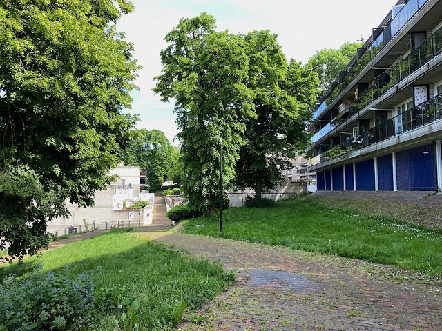
Image: © Robin Stott Taken: 19 May 2022
The path by Wychwood Way drops down to 41-50 Northwood Way. A path somewhere leads to 37-46 Wychwood Way beyond the trees. The London Prospect block looks out over the scene; the ground 'floor' is for parking.
Images are licensed for reuse under creativecommons.org/licenses/by-sa/2.0
Image Location
Latitude
51.420518
Longitude
-0.088042