C2C at Annfield Plain
Introduction
The photograph on this page of C2C at Annfield Plain by Oliver Dixon as part of the Geograph project.
The Geograph project started in 2005 with the aim of publishing, organising and preserving representative images for every square kilometre of Great Britain, Ireland and the Isle of Man.

There are currently over 7.5m images from over 14,400 individuals and you can help contribute to the project by visiting https://www.geograph.org.uk
C2C at Annfield Plain
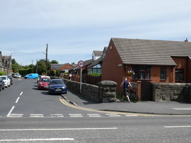
Image: © Oliver Dixon Taken: 11 Jul 2022
Land on the trackbed of the former Consett and Sunderland railway at Annfield Plain was sold off for housing, but a narrow pathway was retained alongside to carry the C2C (National Cycle Network route 7).
Images are licensed for reuse under creativecommons.org/licenses/by-sa/2.0
Image Location
Latitude
54.857374
Longitude
-1.735471