Path junction on the old Consett and Sunderland railway
Introduction
The photograph on this page of Path junction on the old Consett and Sunderland railway by Oliver Dixon as part of the Geograph project.
The Geograph project started in 2005 with the aim of publishing, organising and preserving representative images for every square kilometre of Great Britain, Ireland and the Isle of Man.

There are currently over 7.5m images from over 14,400 individuals and you can help contribute to the project by visiting https://www.geograph.org.uk
Path junction on the old Consett and Sunderland railway
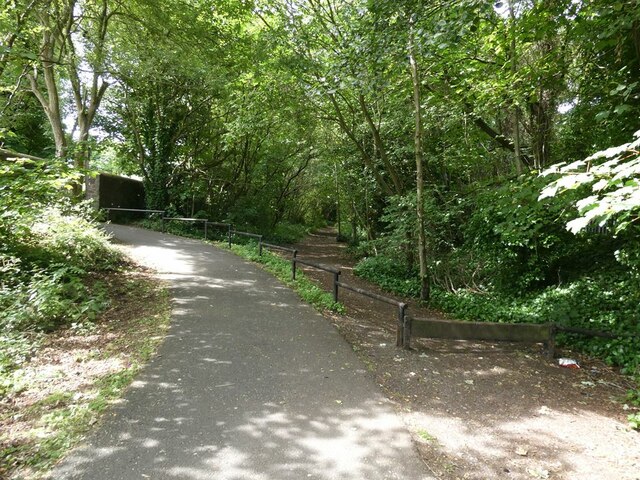
Image: © Oliver Dixon Taken: 11 Jul 2022
At this point, a horse stile gives access to the cutting through which the former Consett and Sunderland Railway ran. But the C2C cycle route (National Cycle Network route) which largely follows the course of the railway, here diverges towards a bridge which takes the path over the A693.
Images are licensed for reuse under creativecommons.org/licenses/by-sa/2.0
Image Location
Latitude
54.855941
Longitude
-1.737817