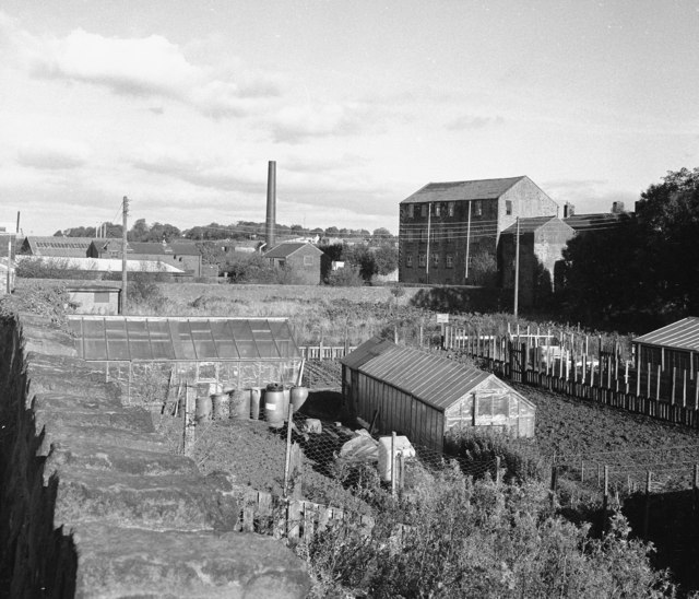
Site of former mill dam, Barnoldswick
Introduction
The photograph on this page of Site of former mill dam, Barnoldswick by Dr Neil Clifton as part of the Geograph project.
The Geograph project started in 2005 with the aim of publishing, organising and preserving representative images for every square kilometre of Great Britain, Ireland and the Isle of Man.
There are currently over 7.5m images from over 14,400 individuals and you can help contribute to the project by visiting https://www.geograph.org.uk

Image: © Dr Neil Clifton Taken: 24 Oct 1997
The mill shown here is Barnoldswick's oldest, which was originally a water-powered corn mill. The mill dam, which was fed from Butts Beck by a leat, the course of which is still visible in the Butts Gardens, occupied the area shown here. In later years, the dam was emptied and the area it occupied is now used for allotments.

