The Weardale Way north of Witton-le-Wear
Introduction
The photograph on this page of The Weardale Way north of Witton-le-Wear by Tim Heaton as part of the Geograph project.
The Geograph project started in 2005 with the aim of publishing, organising and preserving representative images for every square kilometre of Great Britain, Ireland and the Isle of Man.

There are currently over 7.5m images from over 14,400 individuals and you can help contribute to the project by visiting https://www.geograph.org.uk
The Weardale Way north of Witton-le-Wear
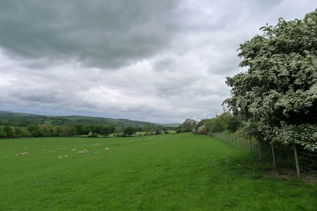
Image: © Tim Heaton Taken: 20 May 2022
Heading north-west up Weardale, with the Wear down the slope to the left. The Way appears to be little used.
Images are licensed for reuse under creativecommons.org/licenses/by-sa/2.0
Image Location
Latitude
54.682326
Longitude
-1.785931